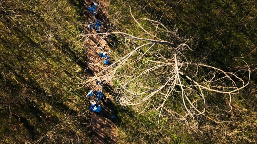
From Pixels to Policy Change
Automate alerts when new clearings exceed thresholds or cross boundaries. Integrate with messaging to notify rangers instantly. When was the last time an alert reached the right person fast enough to change the outcome on the ground?
From Pixels to Policy Change
Overlay harvest permits, mill locations, and transport routes to reveal gaps between paper and practice. Drone evidence can validate claims or expose violations. Would your organization benefit from a lightweight dashboard that links clearings to suppliers and timelines?