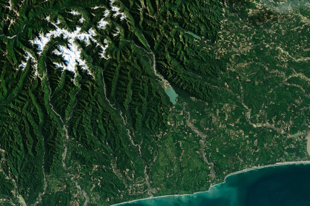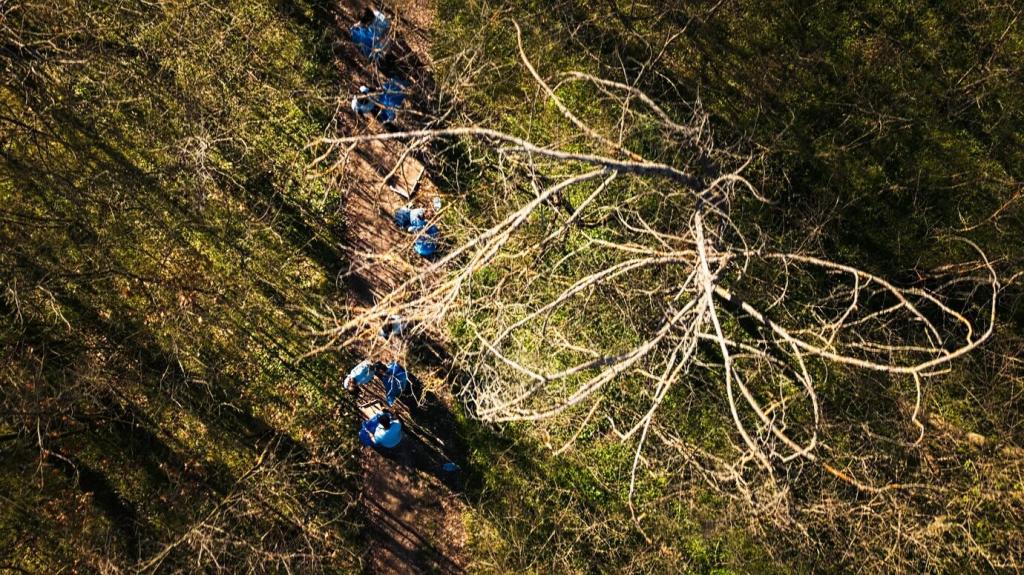
Mapping Risk Before Flames Start
Drones equipped with thermal and multispectral sensors detect heat anomalies, dry fuels, and smoldering compost piles long before smoke is visible. Indices like NDVI and moisture stress maps spotlight vulnerable zones, guiding crews to prune, clear, and harden assets before winds rise.
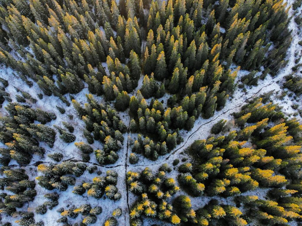
Mapping Risk Before Flames Start
Low‑altitude LiDAR and photogrammetry build centimeter‑level digital twins of powerlines, rooftops, canyons, and defensible spaces. Planners simulate clearance distances, model ember travel under forecast winds, and test what‑if scenarios that turn vague concerns into concrete, prioritized mitigation work orders.